Get Lost
September 21st, 2023 | by Andreas Richter
(2 min read)
One of our drivers is to propagate the power of geodata for various use cases (mostly in the domain of mobility). We also believe that boundaries in domains as well as in jurisdiction are often human-made constructs that are not really helping to handle the continuous nature of the world (in small scale as well as large scale). By crossing these lines unexpected effects can happen.
The Russian government invaded Ukraine and made us all speechless. The Russian government also may get kind of speechless after their foreseen fast victory has not materialized and, in return, Russia experienced drone attacks firsthand. War on civilians is a war crime and the suffering is manifold. The Russian government decided to start jamming and spoofing the signals from the global positioning system (GPS) in Moscow region and various others surrounding Volga River to prevent drones from finding their destinations. You can find a longer story about jamming and the recording of this event in a WIRED article. The side effects are impacting the Russian civilians as well.
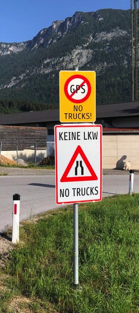
We all love to listen to the voice of our navigation devices in our cars (esp. taxi drivers who don’t have to memorized the whole road network with street names and spatial distribution of house numbering of their city any more) or in the smartphones mounted to bikes and scooters. We also love to find available rental mobility by looking at our map apps or by getting calculated how long a trip would take. Sometimes we laugh about people who follow the navigation instructions without thinking by e.g., misinterpreting ferry connections with bridges or following rails instead of roads. We are annoyed when multi-level roads confuse the navigation, or positioning is not working at all because of the urban canyon effect (which can happen in mountainous regions as well and, therefore, there are sometimes misleading road signs telling you not to rely on your navigation device).
By jamming and spoofing GPS signals positioning gets also worse and that is what Moscow’s citizens are currently experiencing: That means, in particular, that traffic participants are not able to determine their correct location any more. Taxis or ride-hailing companies can’t pick up customers nor can they rely on the routing or its cost calculation. Rental vehicles can’t be found because their parking position was stored with a very bad accuracy. In addition the location of the customer is also wrong. The whole localization is screwed up (in other regions positioning is screwed up by law).
You could ask why not use a different global navigation satellite system (GNSS) because the Russian Government has with GLONASS its own GNSS and more and more smartphones such as products from Apple, Samsung, Motorola and Nokia also have GLONASS receivers on board. The answer is quite simple: You could also use a GLONASS receiver in a drone and therefore these signals get jammed or spoofed, too. The only possibility of being independent would mean to rely on optical or beacon-based (e.g., using mapped wireless networks) positioning but this is way more complex and less accurate.
With that dependence in mind we only can say: Don’t mess with the freedom of others so you don’t get messed up yourself! At the end geodata rule the world…