Missing the Forest of Traffic Signs for the Trees
August 11th, 2022 | by Andreas Richter
(2 min read)
Recently a paper was published dealing with a framework for automated driving vehicles to safely take part in the current traffic, especially in exceptional driving situations. Each country or state has a lot of (more or less slightly different) traffic rules to organize human-made traffic but often these rules are strained in general. For example, the speed limit is often only taken as a suggestion instead of a restriction and at the same time you should not impede the traffic flow. In critical situations (e.g., a distracted pedestrian steps on the road or a cyclist is toppling) it is useful to perpetrate to avoid casualties. But is a company developing a self-driving system allowed to implement functions which officially infringe traffic rules?
We won’t answer that (because we are no lawyers) we just want to make it even more complicated (because we are geodata evangelists)!
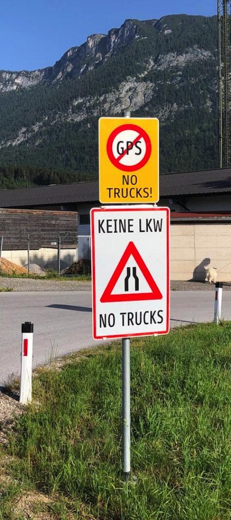
What happens in ordinary situations if the self-driving vehicle is confronted with illogical road signs? In the picture on the left you clearly see that no trucks are allowed and that you have to switch off your GPS receiver. Can you continue using Galileo, GLONASS or Beidou? Should only trucks switch off their GPS receiver? Or should you just follow your instinct?
Okay, we think everybody understands what this sign tries (but fails) to say: Do not follow your on-board navigation! For automated driving you could incorporate this knowledge in the map. But what happens if the lane usage changes due to construction sites and the map isn’t updated properly and/or in time? The risk of accident can increase or the vehicle could become a wrong-way driver. Avoiding constructions sites in general could lead to very long additional travel time. You have to update the maps of all automated driving systems immediately, which could lead to a lot of duplicate work. It would be helpful if every system was able to process local dynamic maps (LDM).
But what would happen if we as humans do not understand what we should do. What should we build into the map? In the following, some examples are given that, luckily, self-driving vehicles do not have to care about.
Traffic Sign Unintelligibility
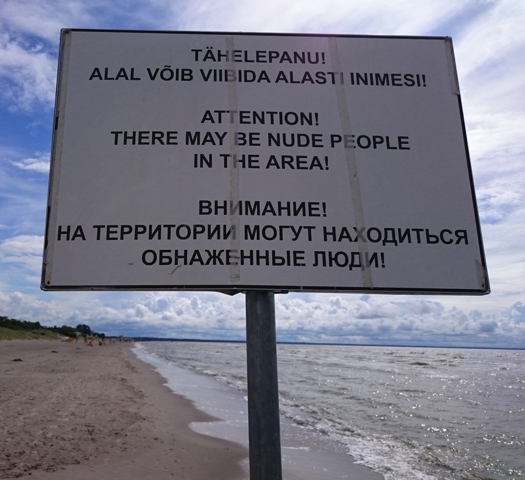
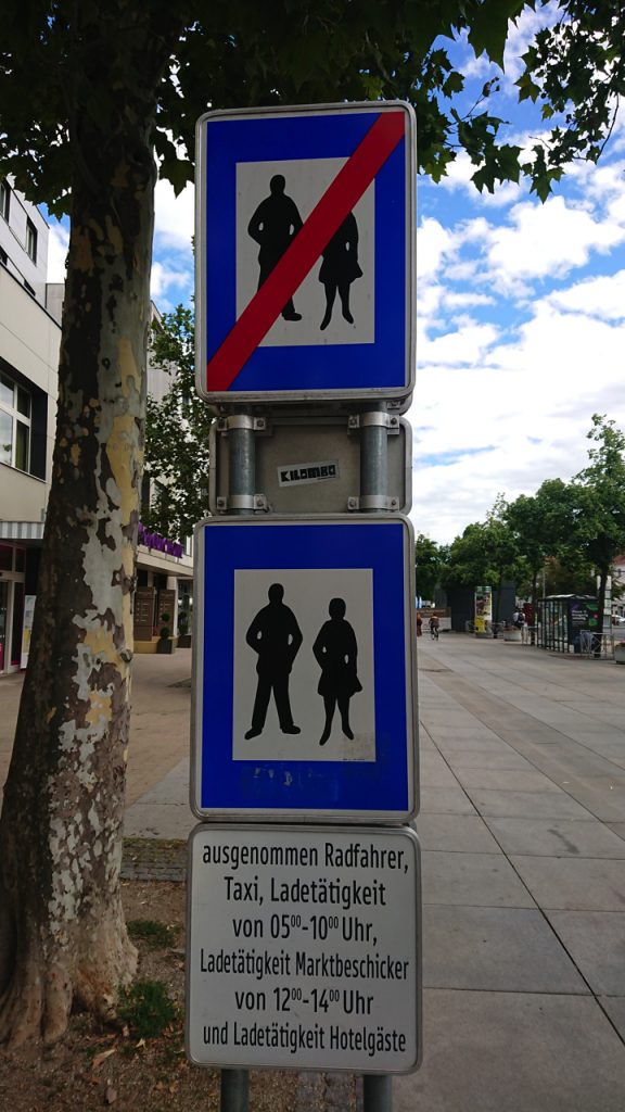
On the right side, the picture shows that a pedestrian zone ends and a new pedestrian zone begins where also bicycle riders, taxis and delivery vehicles are allowed. But how do they reach this area if the only way to get there is a pedestrian-only zone?
Also, the guidance of pedestrians can be confusing (see below). Do you really want to follow the arrows or will you overrule them?

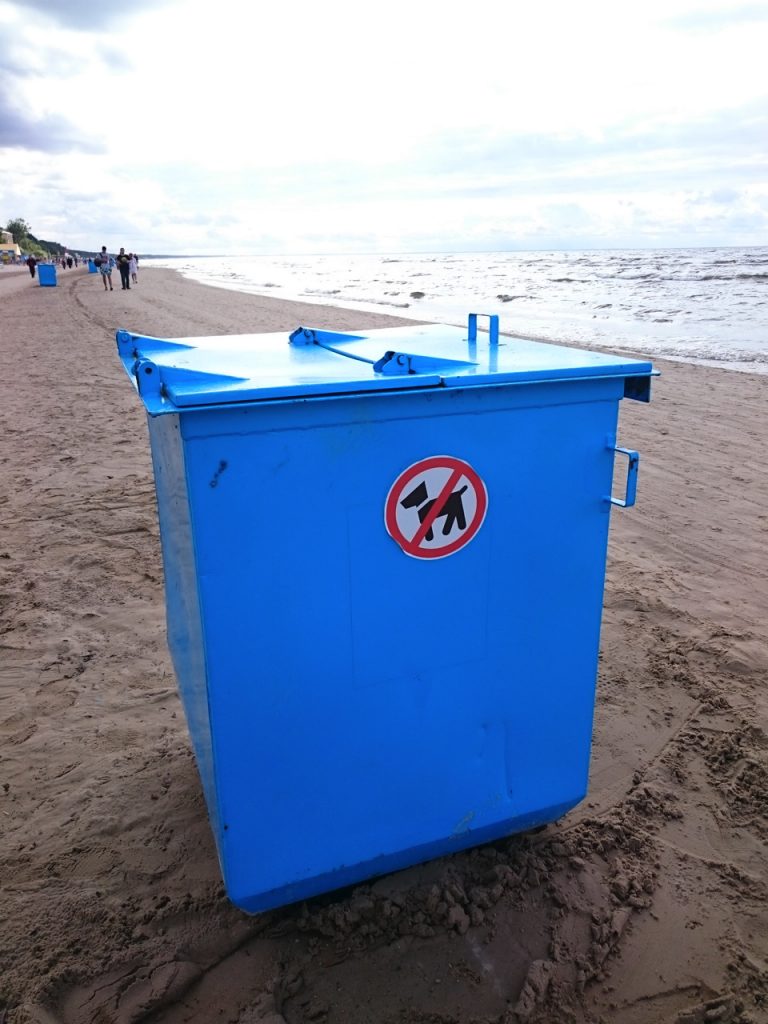
Or look at this refuse container on the left: Do not put dogs into it. Okay, this one is clear. We assume that dogs belong to organic waste, don’t they (to all dog owners among our readers: sorry for this piece of sarcasm)?
Nevertheless signs will give you good hints about what will come and to be in for it (see below).
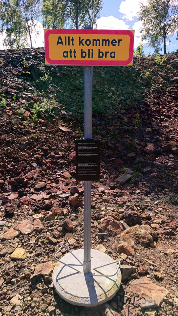
Nevertheless, everything will fall into place (on the right)!