People’s Republic Perspective
August 31st, 2022 | by Andreas Richter
(4 min read)
Have you ever visited China using Googles’ map service and asked yourself, why the road networks are not matching the aerial images? And maybe you have double-checked this oddity in Bing’s map service and realized the same issue? But have you checked it, for example, with Apple’s map service or the map services from the South Korean search engine Naver, the Russian one from Yandex or even Baidu’s map service? There, everything looks like normal. And did you have the opportunity to check Google’s map service while you are in China and realized that now it fits there as well? What happened?
The explanation starts with two facts we already touched in our earlier posts:
- First: The Earth is bumpy and, additionally, makes it complicated for us humans to be simplified from its three-dimensional shape into two-dimensional visualizations. For that, so-called projections were invented to “map” the world. The most famous one is the Mercator projection using 60 cylinders to map the earth. It works quite well for everything close to the equator but everything further north and south gets increasingly distorted. But why should this deviation end at the “Great Wall”? Stay tuned!
- Second: For China, geodata is strategic data. In China, mapping is part of the development of the national economy and build-up of national defense (among other things). In our recent expert interview with Li Qingjian you can read more about the geodata sourcing based on the management of national policy qualification. Each mapping company needs a permission from the state to map in China and then the map data has to stay in China. Copying data is obviously the easiest way to get data to somewhere else and therefore China’s geodata gets some kind of a copy protection which is realized through coordinate obfuscation.
Security by Obscurity
China uses the GCJ02 geodetic datum that is based on WGS84, which is used by GPS. GCJ02 is officially called “Topographic map non-linear confidentiality algorithm” and adds a distortion algorithm on top. But it does so not only by longitudinal and lateral offset, it does it randomly (different tessellation for each region) so that the offset is not the same for any two locations. In other words, the algorithm is messing up the 3d coordinate data compared to WGS84 coordinates. Due to the randomness of the distortion, no coordinate reference system definitions nor any transformations exist in the EPSG Registry for GCJ02.
To work with map data in China you have to get a license from Chinese State Bureau of Surveying and Mapping and purchase a shift correction algorithm. This shift correction box will decrypt the data and makes it “usable” e.g., to compare it with WGS84-based data. You ask yourself, why not using pure GPS coordinates such as OpenStreetMap does? The simple answer is: It’s illegal.
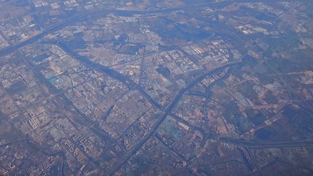
If map providers show “roads matching with areal images”, you can expect that both, roads and images are wrong (read: at the wrong geolocation). The mismatch in Google’s map service is because of the aerial images being still correctly referenced (in terms of WGS84).
The mystical “non-linear confidentiality algorithm” was leaked years ago and therefore some open-source implementation for correction exist. However, Baidu’s map uses an additional geographic coordinate system called BD09 that adds additional distortion to the geodata for the sake of “user’s privacy”. And, of course, BD09 can’t be found in EPSG Registry either.
Getting the real China
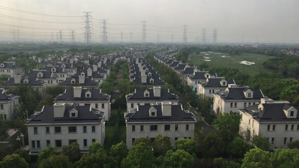
If you wanted to create a road network without the user privacy correction, you could process correctly referenced aerial or satellite images and extract the road network using computer graphics approaches. Seen from space, none of the borders count at all! But, if you want to create lane-level detailed maps, it will get complicated. Mobile mapping is only allowed with permission and the data stays in the country with the encryption. High-resolution images necessitate satellites with costly cameras. Most high-resolution images are obtained by aerial surveys and again you will need permission and the data… you get it.
But there is one scientific solution: You can at least improve the correctness of aerial images with the help of “landmarks”. The project DriveMark uses data from the radar satellite project TanDEM-X and adds sophisticated ionospheric and tropospheric correction and takes geodynamic effects (tides) into account. With this help, vertical objects like poles and pylons can be identified as retro reflectors with a very high absolute accuracy. These landmarks can be recovered in the aerial images. If multiple landmarks can be found in an aerial image, a correction can be applied and in China most modern roads are equipped with numerous pole-like infrastructure such as traffic signs, traffic lights and street lighting. The start-up company ternow.ai is utilizing this technology to create accurate lane-level detailed maps from aerial images. With the described combination of data you could create a precise map of Chinese roads. However, high-resolution aerial images are expensive to obtain and it will cause other (legal) conflicts if you operate with such kind of data in China.
Conclusion
Geodata rules the world. And if you want to make sure that nobody is surveying your property unbeknown by yourself, you set up your own perspective and let others use your understanding of reality.
Addendum
The video from “Half as Interesting” is quite a good summary of the case.