Expert Talk: Small Talk with The Valley
February 8th, 2022 | by GEONATIVES
(4 min read)
Last year, we had a chance to sneak into the Silicon Valley by talking to some well-known friend in the new mobility domain. He spoke to us in his role as a private person with a long-term background of what has been and is going on in the Valley. With lots of technologies being hyped, we were most curious about the status of projects around geodata.
Culture Clash
Let’s start with the basics: the culture of the Valley is different – and you don’t have to name exactly what it is different from. It’s just different. It’s about money and, only secondarily, about solving problems. It does solve many problems, though, (and sometimes creates new ones) but it does so because there is a business case.
We as proper German GEONATIVES think about solving problems first and try to avoid any distraction by the business case. This might be good in terms of advancing engineering, but it hardly pays you a meal.
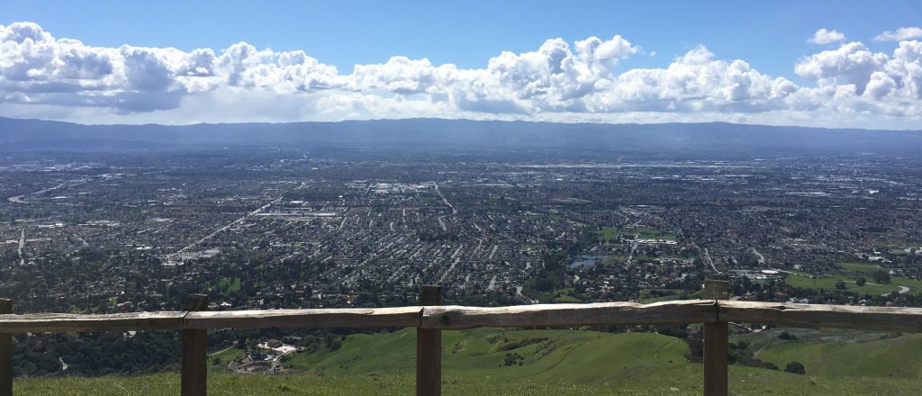
Anyway, our friend shared the view that the Valley is pretty much heated up – not only by the wildfires last year that were moving closer to his home at the time we spoke – and that other countries are catching up in creating superb start-up culture environments, namely Israel and France. Therefore, we will definitely have to sneak into these ecosystems in one of our next posts (We already got an insight into Russia).
Working with Municipalities
Geodata, especially in a region as densely populated as the Valley, are data on and around municipalities. As in most regions of the world, their administrations work with long-term plans, limited budgets, and elections around the corner.
This makes it especially difficult to collaborate with start-ups. They only have a short history, no or hardly proven records of performance, just a given chance to survive the next few years, and a need for short-term revenue.
Municipalities, in contrast, try to minimize risk (since they are spending taxpayers’ money), tend to attach quite some red tape to projects and are eager to eradicate any liability issues that may emerge from them betting on the wrong partners or not-yet proven technologies. Their purchasing process is slow, and politics may interfere with it.
If municipalities pay for a development or service, it automatically becomes a “common good” due to the fact that it has been paid by the public (note that we still talk about the Valley or the US in broader scope, in other parts of the worlds this open data thinking is still in the early stages). Therefore, the concept of developing once and selling many times – the key behind substantial profits – is not applicable.
Overall, doing business with municipalities does not seem to be a model for the start-up culture of the Silicon Valley. This is one reason why there is only little drive in doing geodata business with the authorities in a region, which excels in many other areas in terms of the sheer speed of getting things done.
One Digital Twin
Our ideal of a single digital twin that is created once, continuously maintained and made available to multiple parties, remains a distant dream considering the background laid out above.
Although various stakeholders in the Valley need similar digital representations of the surroundings, they all keep on collecting and processing data by themselves. This means that we will see many more – redundant – models of downtown San Francisco to come up in the near future.
But there also is a chance in this mode of operation: there will be quite a few digital twins to choose from and municipalities might be able to license ready-to-go datasets from operators (e.g., automotive OEMs) in the future instead of having to rely on service companies for purpose-built, isolated models. Additionally, public authorities can force stakeholders to contribute to their databases to get access to the city as, for example, already done with Mobility-as-a-Service data in New York or Hamburg.
Standardization
Where many models co-exist, exchange between them has to be facilitated. A good point for postulating the need for standards – so, at least, you would think.
Our friend told us, that he does not yet see standardization at a point where the existing formats and processes would be universally accepted. The learning curve still appears to be too steep and only when it starts to level off will there be more parties taking the risk to bet on the more mature and established standards.
Consolidation of standards and initiatives will play a big part in driving the learning curve to its target level. Until now it seems that everybody’s strategy is to do everything in-house (not only maps but also sensors and chips for them). If there is enough venture capital available – and this is still the case in the Valley – then the companies are able to afford the insourcing.
Summary
We really enjoyed our chat with our friend. With him calling the Valley his home, we definitely had a chance to get an insider’s view on the topics that our GEONATIVES initiative tries to highlight and advance.
Business in the Valley and the start-up environment are not (yet) made for long-term geodata projects that involve all stakeholders and, in particular, municipalities. People tend to address their own challenges individually and by themselves.
Standardization is not perceived as mature enough to pave the way for a single digital twin that may be used for various purposes.